Log in
All resources
Create a design
36,535 Free Images of 1868 Maps
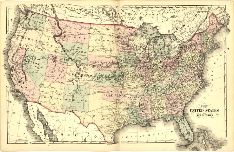
maps in the library of congress
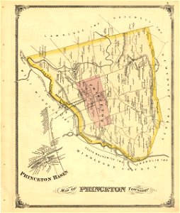
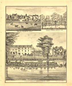
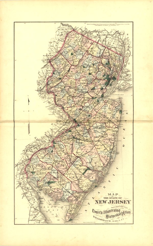
new jersey
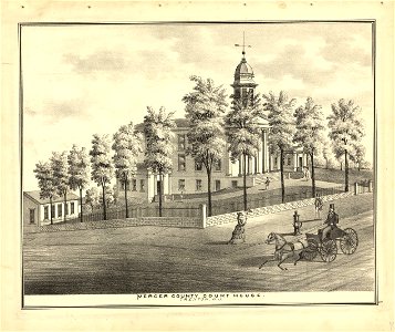
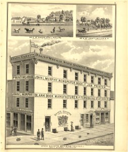
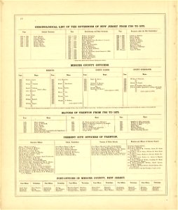
combination atlas map of mercer county
1869
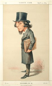
vanity fair
list of vanity fair (british magazine) caricatures (1868–1869)
vanity fair caricatures (politicians)
caricatures by carlo pellegrini in vanity fair
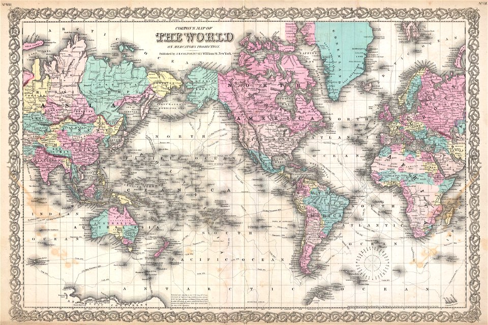
maps by joseph hutchins colton
english-language maps
maps in the library of congress
new jersey
maps in the library of congress
new jersey
maps in the library of congress
new jersey
maps in the library of congress
new jersey
maps in the library of congress
new jersey
maps in the library of congress
new jersey
maps in the library of congress
new jersey
maps in the library of congress
new jersey
maps in the library of congress
new jersey
maps in the library of congress
new jersey
maps in the library of congress
new jersey
maps in the library of congress
new jersey
maps in the library of congress
new jersey
maps in the library of congress
new jersey
maps in the library of congress
new jersey
maps in the library of congress
new jersey
maps in the library of congress
new jersey
maps in the library of congress
new jersey
maps in the library of congress
new jersey
maps in the library of congress
new jersey
maps in the library of congress
new jersey
maps in the library of congress
new jersey
maps in the library of congress
new jersey
maps in the library of congress
new jersey
maps in the library of congress
new jersey
maps in the library of congress
new jersey
maps in the library of congress
new jersey
maps in the library of congress
new jersey
maps in the library of congress
new jersey
maps in the library of congress
new jersey
maps in the library of congress
new jersey
maps in the library of congress
new jersey
maps in the library of congress
new jersey
maps in the library of congress
new jersey
maps in the library of congress
new jersey
maps in the library of congress
new jersey
maps in the library of congress
new jersey
maps in the library of congress
new jersey
maps in the library of congress
new jersey
maps in the library of congress
new jersey
maps in the library of congress
new jersey
maps in the library of congress
new jersey
map „das herzogthum nassau“ by j.b. fischer
1828
map „das herzogthum nassau“ by j.b. fischer
1828
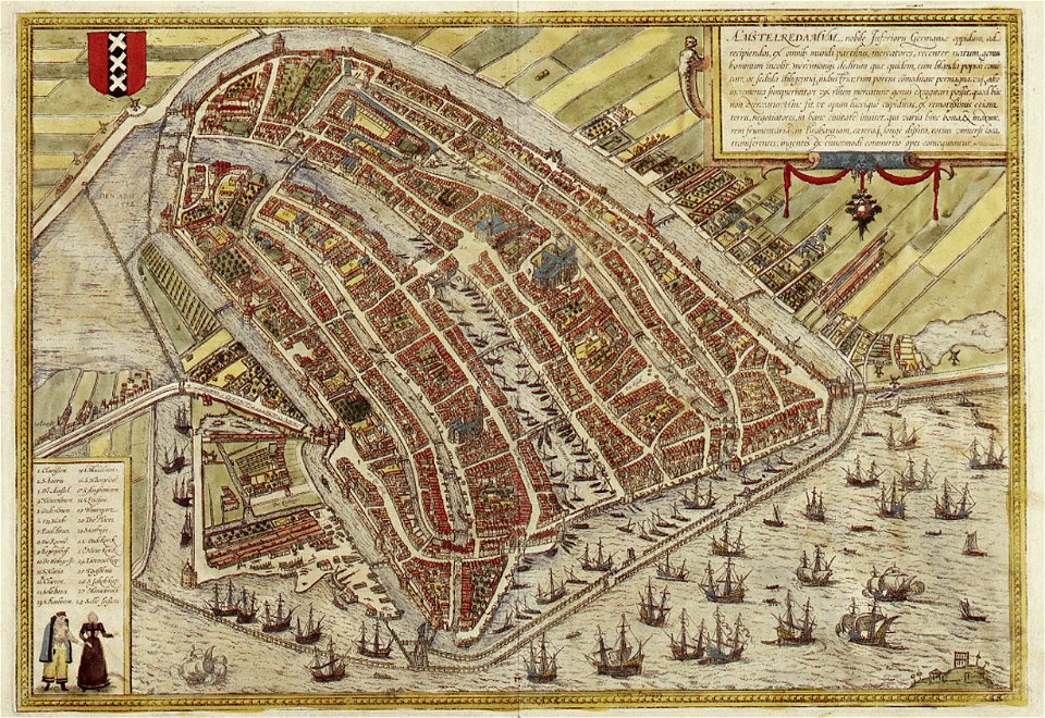
map of amsterdam by braun & hogenberg
coats of arms of amsterdam on maps
old maps of lazio
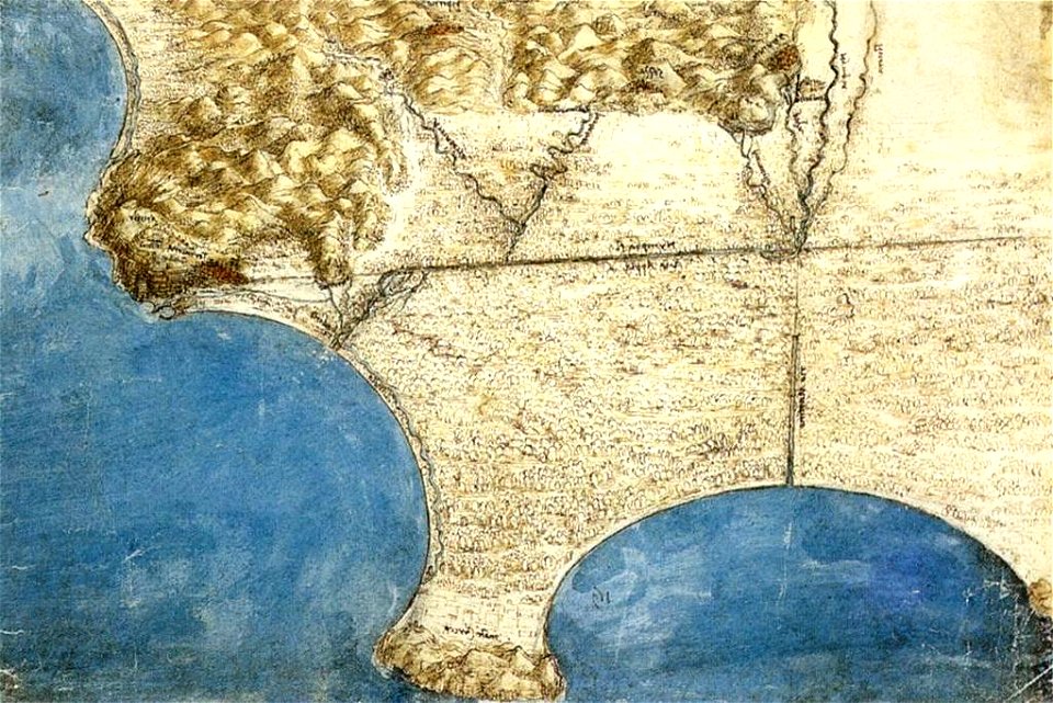
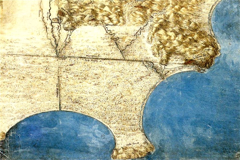
codex windsor
old maps of lazio
codex windsor
cosmographia claudii ptolomaei alexandrini
herat
map of paris by claes jansz. visscher - derivate files
historical maps of les halles
maps in the library of congress
new jersey
maps in the library of congress
new jersey
maps in the library of congress
new jersey
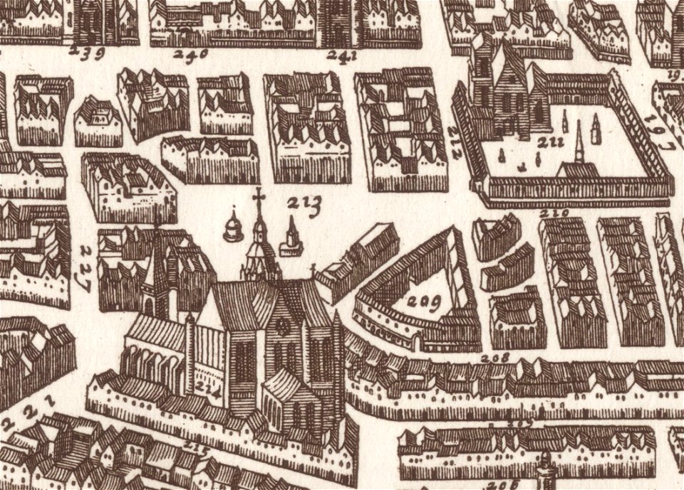
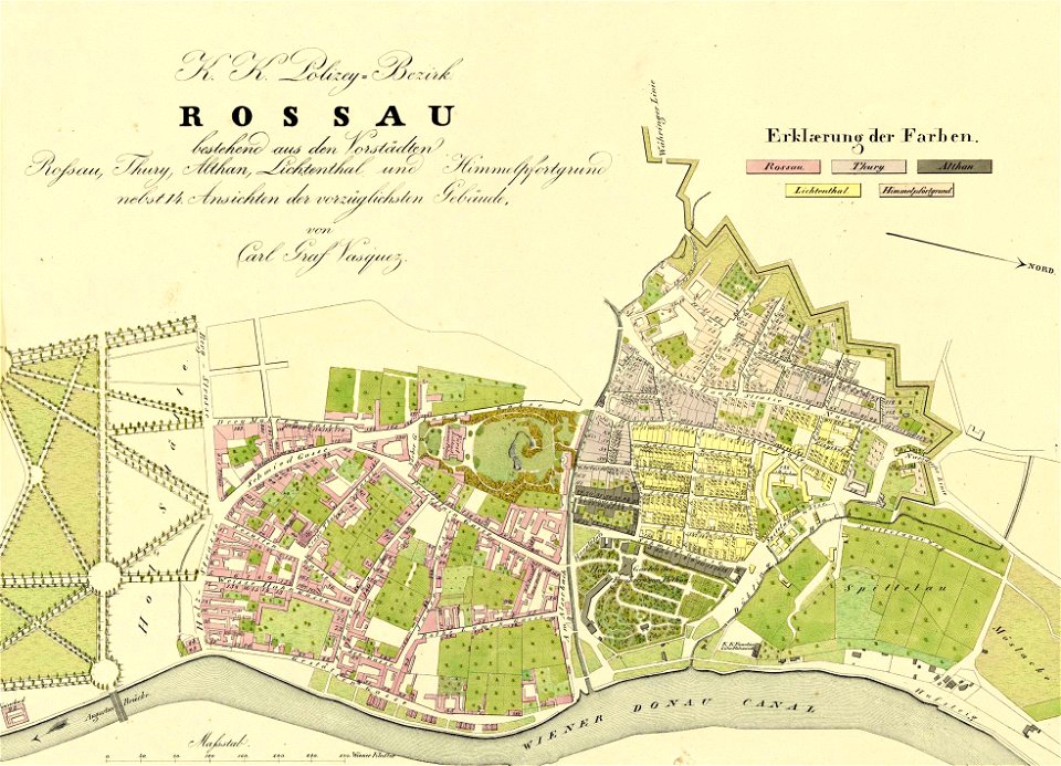
details of 1830 vienna map series by carl graf vasquez
old maps of leopoldstadt
1830 vienna map series by carl graf vasquez
roßau (vienna)
maps in the library of congress
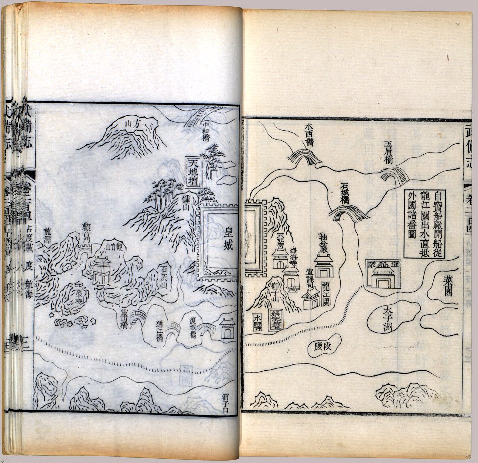
mao kun map
maps showing 19th-century history
political maps of the world
maps of midian
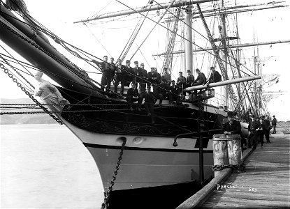
ships on maps
old maps of guangzhou
maps by brockhaus
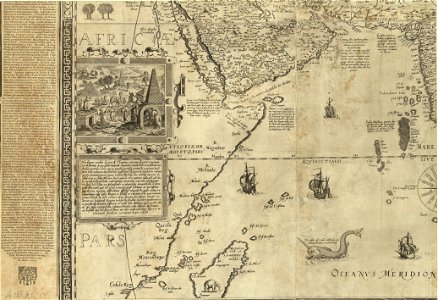
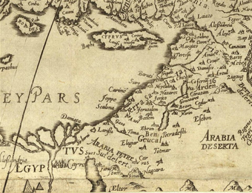
16th century maps of the middle east
1590 maps of israel
old maps of samegrelo
french-language maps
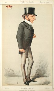
vanity fair
1869
19th-century self-portraits of men
portraits in landscape
vanity fair
1869
works by jean-baptiste-camille corot by robaut number
history paintings by jean-baptiste-camille corot
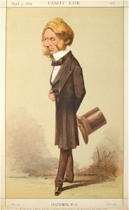
vanity fair
1869
vanity fair
1869
19th-century paintings in the national arts museum of the republic of belarus
saint peter's basilica in art (interior)
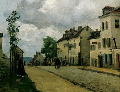
paintings of pontoise by camille pissarro
1860s landscape paintings
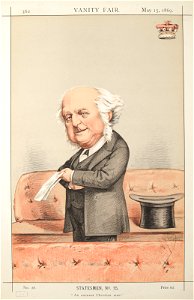
vanity fair
1869
paintings after diego velázquez
1868 paintings
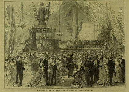
the illustrated london news 1869
1862
illustrations to mikhail lermontov's works
drawings by ilya yefimovich repin
19th-century portrait paintings in the österreichische galerie belvedere
1868 portrait paintings of men
vanity fair
1869
photographs in the national library of new zealand
1868
lepidoptera illustrations
pzsl 1868
maps in the library of congress
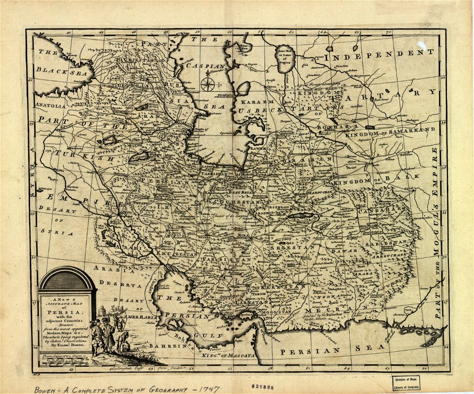
maps of the history of iran
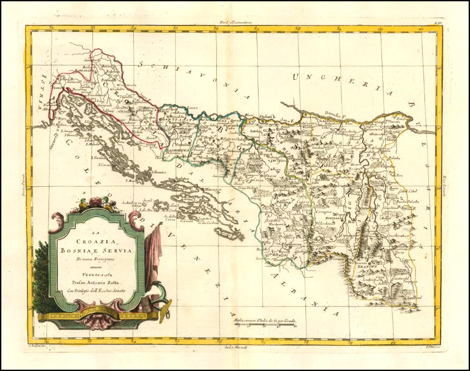
old maps of bosnia and herzegovina
old maps of croatia
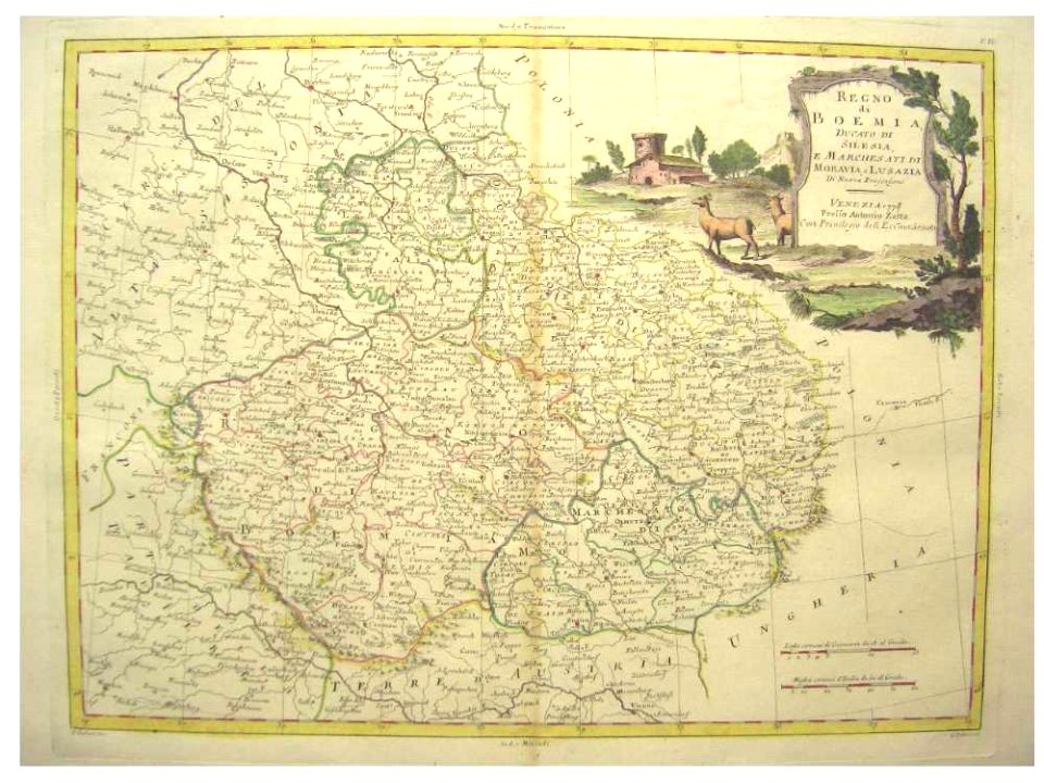
old maps of silesia
old maps of bohemia
old maps of trentino-south tyrol
english-language maps
political maps of the world
1852
maps by johannes janssonius
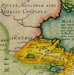
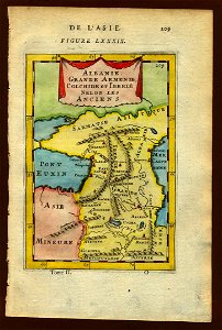
old maps of armenia
17th-century maps of georgia
old maps of turkey
1500s maps of the world
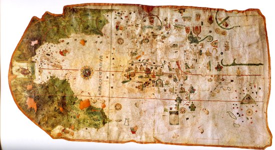
map of de la cosa
decorative map
german bible
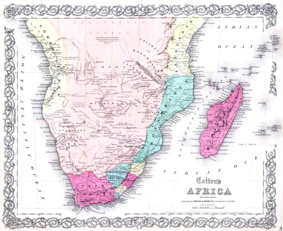
maps of rivers of south africa
english-language maps
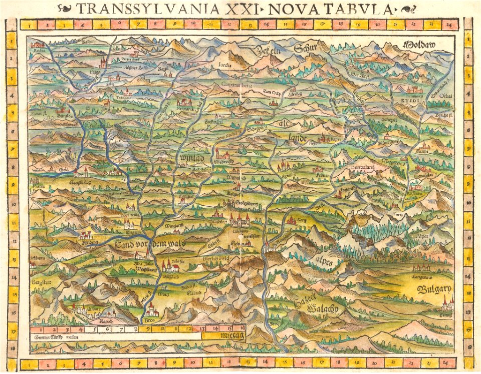
maps by sebastian münster
1552 maps of ukraine
old maps of greece
old maps of turkey
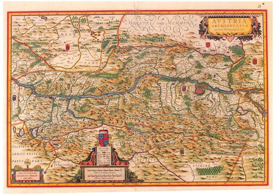
old maps of upper austria
old maps of styria
maps by willem and johannes blaeu
1650 maps
hamburger
vierlande
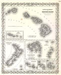
old maps of new zealand
english-language maps
old maps of australia
maps with cartouches
old maps of tibet
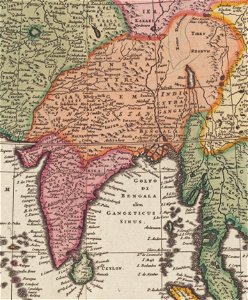
old maps of asia
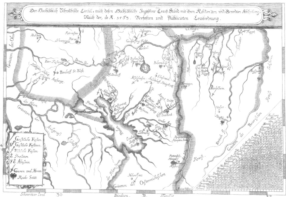
1670s maps of baden-württemberg
1672 maps
maps by frederick de wit
1706 maps
maps by abraham ortelius
ships on maps
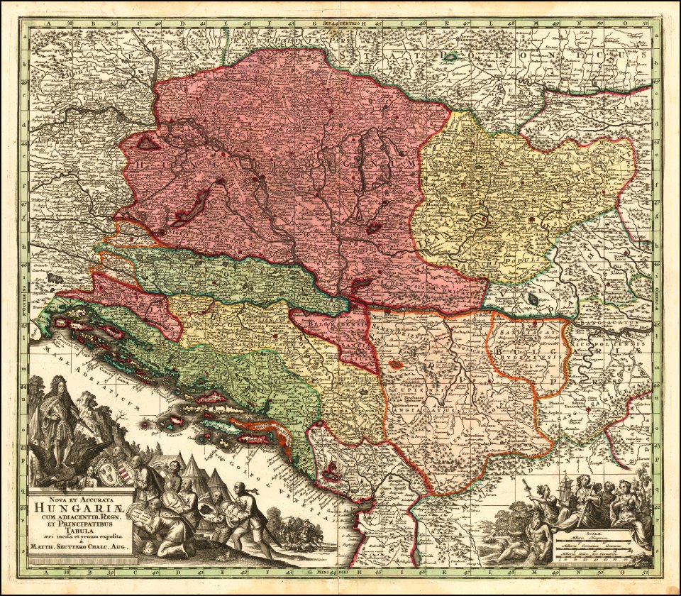
maps by matthäus seutter
old maps of the balkans
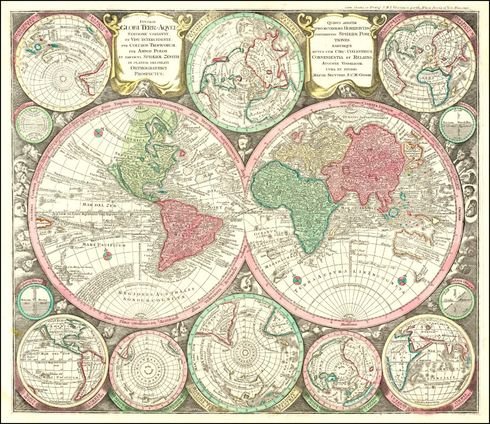
double hemisphere world maps
maps by matthäus seutter
19th-century maps of the americas
english-language maps
1301 - 1400 of 36,535
Next page
/ 366